Vintage Shaded Relief Map
How we make these maps
We are really glad to see that you are interested in our maps! We create maps because we love geography and art. With this brief text, we aim to explain how we create these maps.
These are old maps that have been restored and merged with modern relief maps created using satellite elevation data (printed in 2D – the maps are flat to the touch), displaying the relief of places in a vintage and contemporary manner, giving them a new perspective.
The relief data is obtained from the Shuttle Radar Topography Mission (SRTM), and we use some software and techniques to make the maps look like they have real relief. Some maps are not based on old maps; they are just stylized to appear antique or modern. Other maps, such as those of the moon, planets, and world maps, can also undergo this process. All the other maps are based on old maps.
Creating these maps is not an easy task. To summarize, the process can be seen in the images below:


SHOP ALL MAPS HERE
You may also like
-
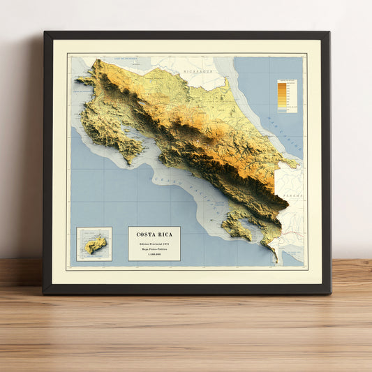
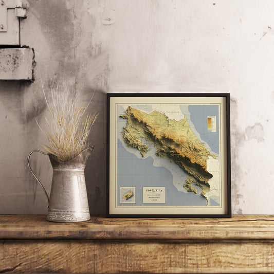
Costa Rica 2D Relief Map (1971)
Regular price From $37.99 USDRegular priceUnit price per -
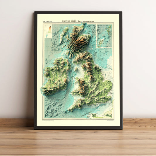
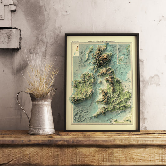
British and Irish Isles Bathymetrical 2D Relief Map (1922)
Regular price From $44.99 USDRegular priceUnit price per$0.00 USDSale price From $44.99 USD -
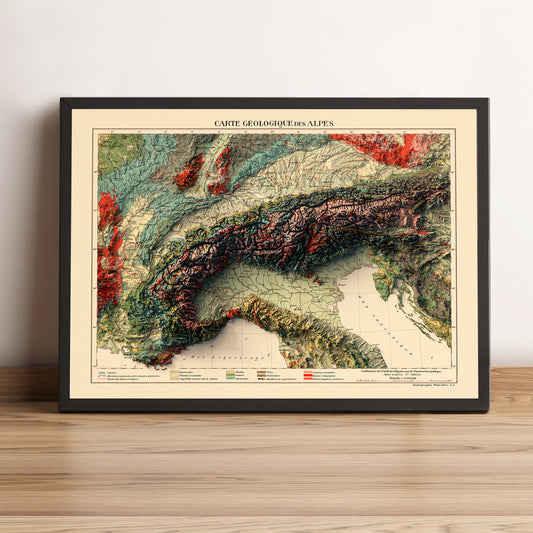
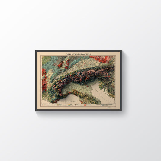
Alps 2D Relief Map (1921)
Regular price From $44.99 USDRegular priceUnit price per$0.00 USDSale price From $44.99 USD -
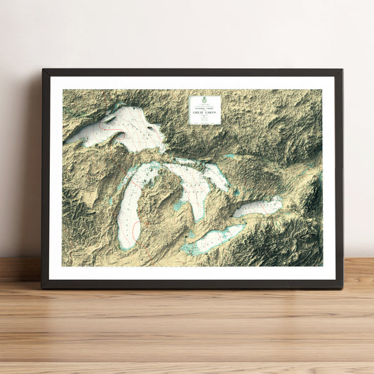
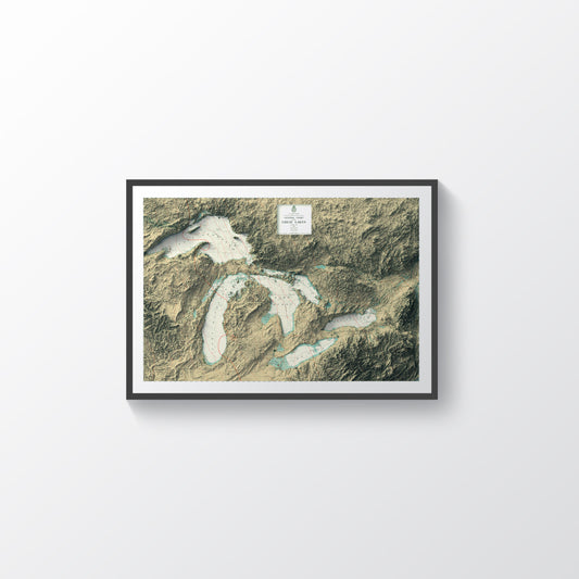
Great Lakes, USA & Canada, 2D Relief Map (1955)
Regular price From $44.99 USDRegular priceUnit price per$0.00 USDSale price From $44.99 USD